Is it a good day
to take the Snake?
The A57 Snake Pass, from Glossop over the summit and down to Ladybower. Live conditions on the tops for riders and drivers, from people who live where the climb begins.
- 13 miles Royal Oak Inn, Glossop to the Ladybower Inn
- 512 m / 1,680 ft at the summit
- 5.3 km at 6.2% the climb from Glossop
- 50 mph over the top
Ride conditions
Weather on the tops hour by hour, crosswinds, ice risk, low sun, Met Office warnings, council notices and the best riding window each day.
See the conditions → Glossop, Old Glossop and the climbThe map
Where the ride starts, the route up the pass, the climb profile with heights in feet and metres, and the things to watch out for.
Open the map → Ride the SnakeThe Snake Pass in 3D
The real valley from the laser survey, lit by the sun for any hour of the next two days, with the forecast weather. Then ride it from Glossop to Ladybower.
Ride the Snake → Police data, five yearsSnake Pass crash history
Every injury collision on the pass since 2021: how many, where, when, the conditions, and how many involved a motorcycle.
See the crash history →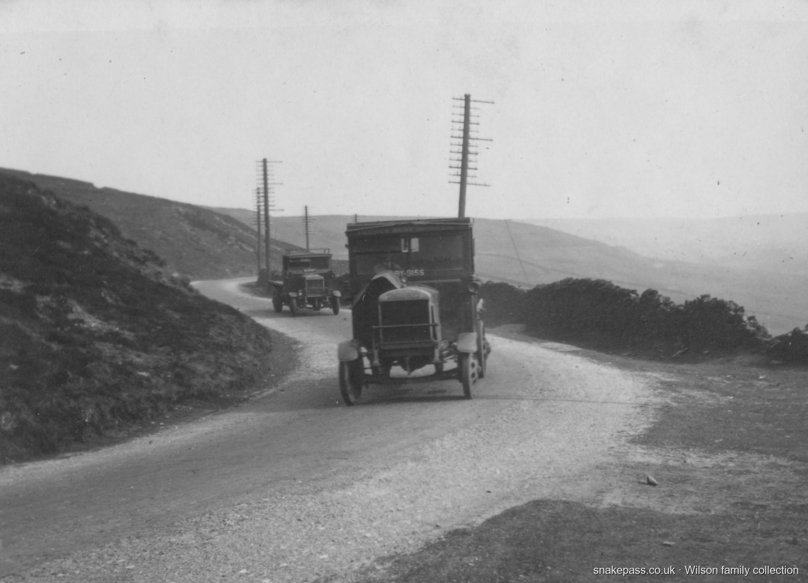
A road since 1821
The Snake Pass opened in August 1821 as the Sheffield and Glossop turnpike, paid for by the Dukes of Norfolk and Devonshire. It was the highest turnpike in England, and its name comes from the snake in the Devonshire family crest, not the bends.
These lorries were registered in Croydon around 1921, a long way from home on a gravel road with a telegraph line beside it all the way over the top.
More of the Wilson family photographs and the history of the road are coming soon.